I've Lost The Way


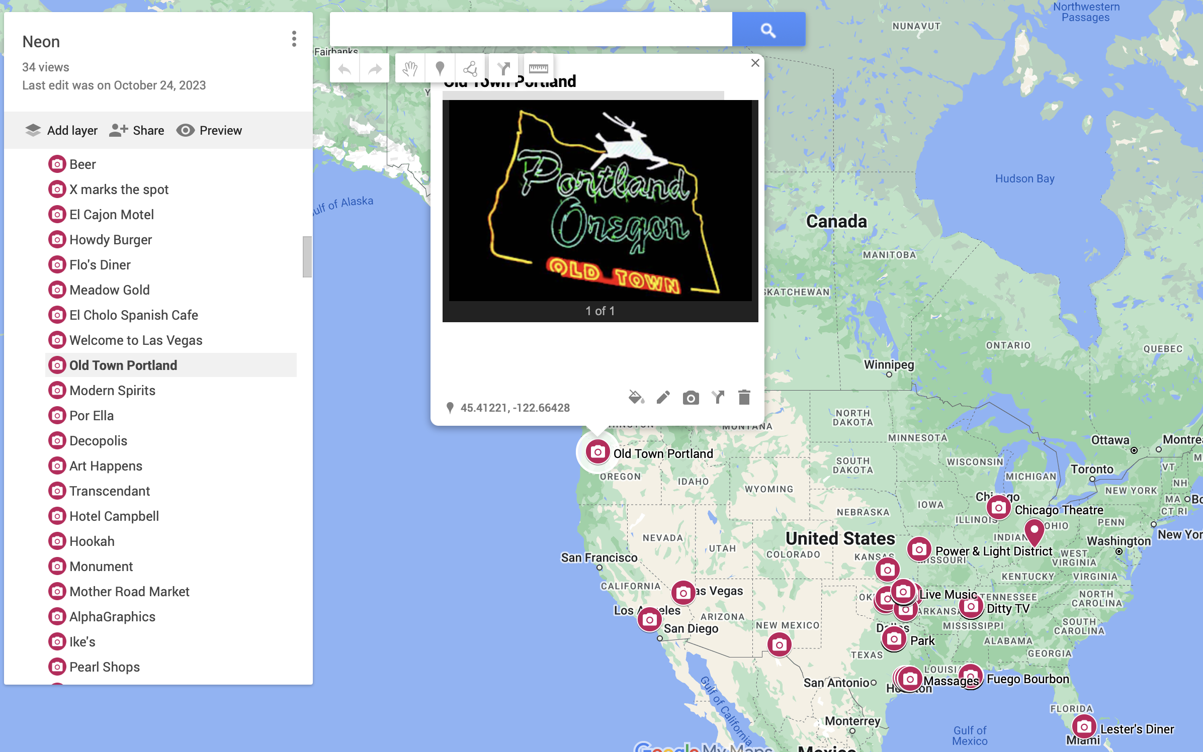
I can’t tell you how many times in the past ten years that there was a desire to build and maintain a map as a photo gallery of places I have been and things I have seen in all of my travels. No, it’s more than one map. I have wanted to build my own map(s) displaying all the images of hidden and discovered geocaches across the country. A separate map showcasing all the neon signs I have documented from Miami to Portland and all points in between. Another map to display all the locations of documented wall art from New Orleans to Chicago, you know, up and down the length of the Mississippi River.
Thanks to careful documentation in the past, I tagged GPS coordinates on to images to look them up later. Then, with incoming new technology, GPS coordinates were built in to the EXIF data of every image, making it so much easier to locate. But what does one do with that information? Build a map to document your travels, of course.
Previously, I relied on Google’s “My Maps” which allows you to enter these in and attach photos to them, but I do not like Google. Unfortunately, they are one of the best, free sources (free as in they will hoover all of your data for their use, of course.) But I’ve always known there exists open-source mapping programs to help me build one myself. After all of this time, this may be a good opportunity to build and ship one out, allowing me to lovingly document these locations. You know, as a photo diary.
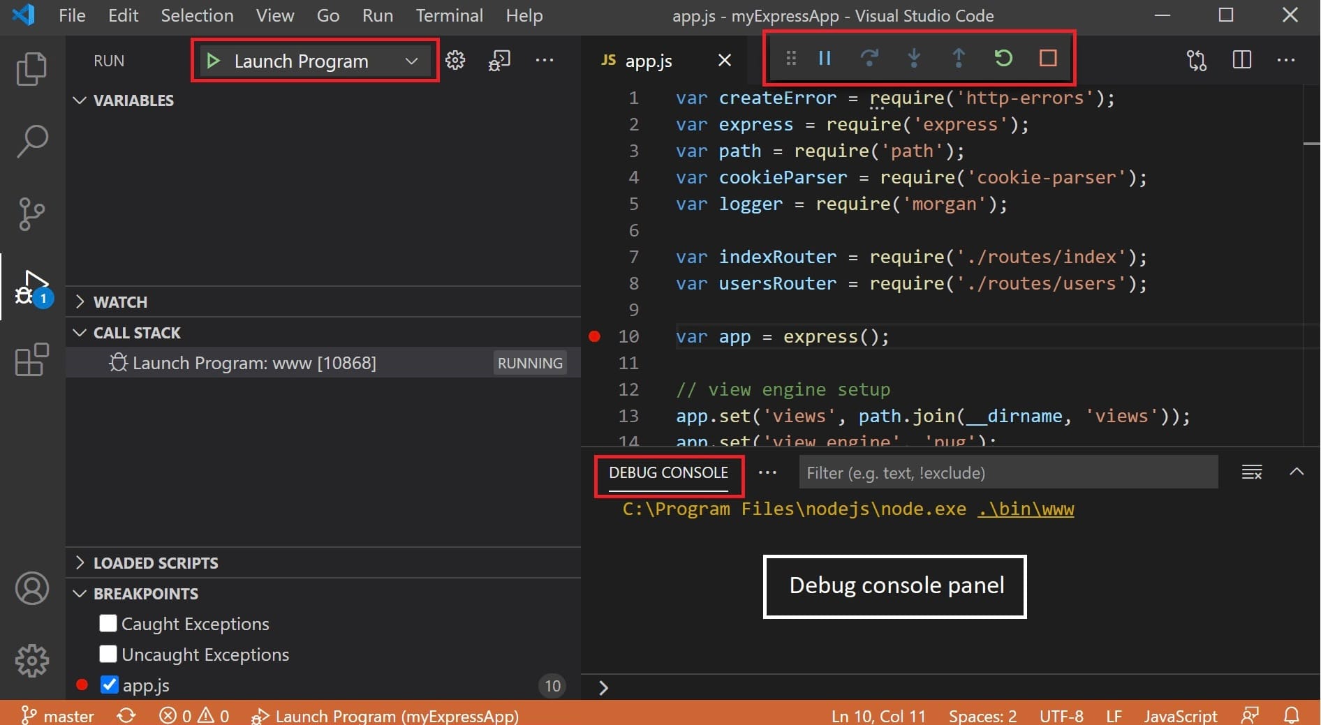
So, I downloaded Visual Studio Code, an IDE, installed Python inside and went to work creating a photo gallery that works with ArcGIS, a mapping software tool. Then created an account on GitHub to keep all of my code in the cloud and act as a virtual server, ready for me to pull requests down when needed. Well, I discovered that the costs to maintain these wouldn’t be a solution, especially ArcGIS (Geographic Information System.) Enter QGIS, an open-source tool that allows me to do this at zero cost.
Then I went to work in Python, coding out the framework and processes to make these maps a reality…and then hit a brick wall. Do I really want to do this? I do, yes, but currently I can’t be arsed. It isn’t laziness, it is restlessness. What else could I be doing instead? But wait, I have the time to do this now because in the near future I may not.
So frustrating is this internal debate that I upload what little code I had to GitHub and then decide what to do with all of this…later. Maybe the reason is I just spent the last few weeks in code building this website and the Archive website and writing articles on here, and creating newsletters and podcasts and and and I just need a break. I've lost my way and my desire.
Speaking of breaks, I am going to relax and finish listening to this album that was playing in the background while typing this up:
Delta Kream by The Black Keys