For years I have wandered, noticed the unusual, followed strange trails and wished I had written down what I found along the way. I can’t recover those lost opportunities but I can start leaving a trail from here.
Today I discovered something new to me: a ground control point, used for aerial survey control and photogrammetry that are tied into the I-10, White Oak Bayou bridge project for TxDOT. Actually, I found two of them one mile apart from each other.
GCP23N and GCP18
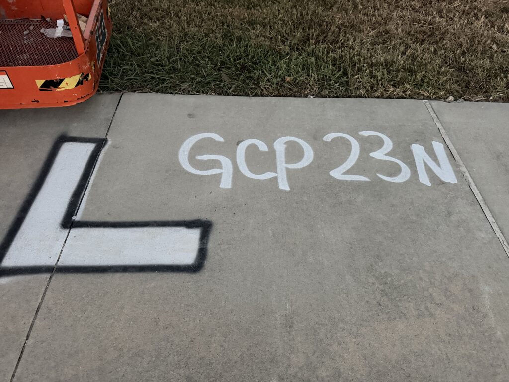
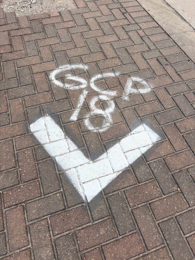
I’ve discovered a rabbit hole of new geodata to explore.

Be First to Comment